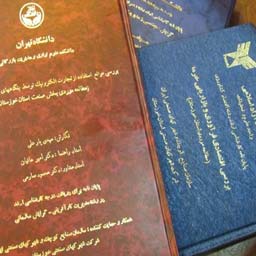
مقطع : کارشناسی ارشد
دانشگاه :
تاریخ دفاع :
اساتید راهنما : خلیل سرکاری نژاد
اساتید مشاور :
اساتید داور :
مشاهده سایر پایان نامه های خلیل سرکاری نژاد
The study area is located in central Iran and covers from 31˚17'-31˚36' N latitude and from 52˚17'-52˚41' E longitude. The area is boundary between central Iran and Sanandaj-Sirjan tectonic zone. The rock units within the area are consist in limestone, dolomite and a little shale and sandstone.
The effected of brittle phase has not only created main and peripheral faults but has also developed joints systems in the study area.Most of the joints having NE trend are tension and are filled by minerals such as calcite and quartez. The rose diagram of the faults in the area shows that the direction of the faults has been approximately 320-340. And this trend is harmonious with the thrusts which have created imbricated structure. Considering the analysis of en-echelon veins and slicken sides sense of shear of the area is dextral. The Collision between Afro-Arabian and Iranian microcontinent has a great influence on the formation of different structures, thrust faults and the emergence of various duplexes. As a result, severe tectonic disorder in the area is observed.